Hiking Le Pouce
Sale
- Duration
- 4 hours
- Grade
- Moderate
- Group size
- 2–12 people
- Guided in
- English, French, Creole
- Ages
- 12 and over
Book a date
Enquire with usDescription
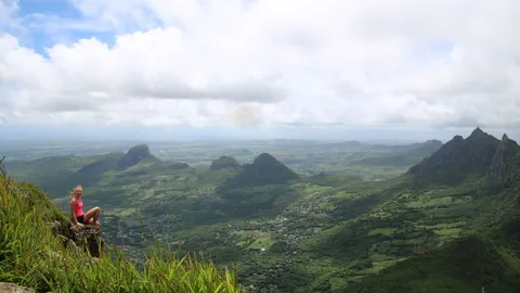
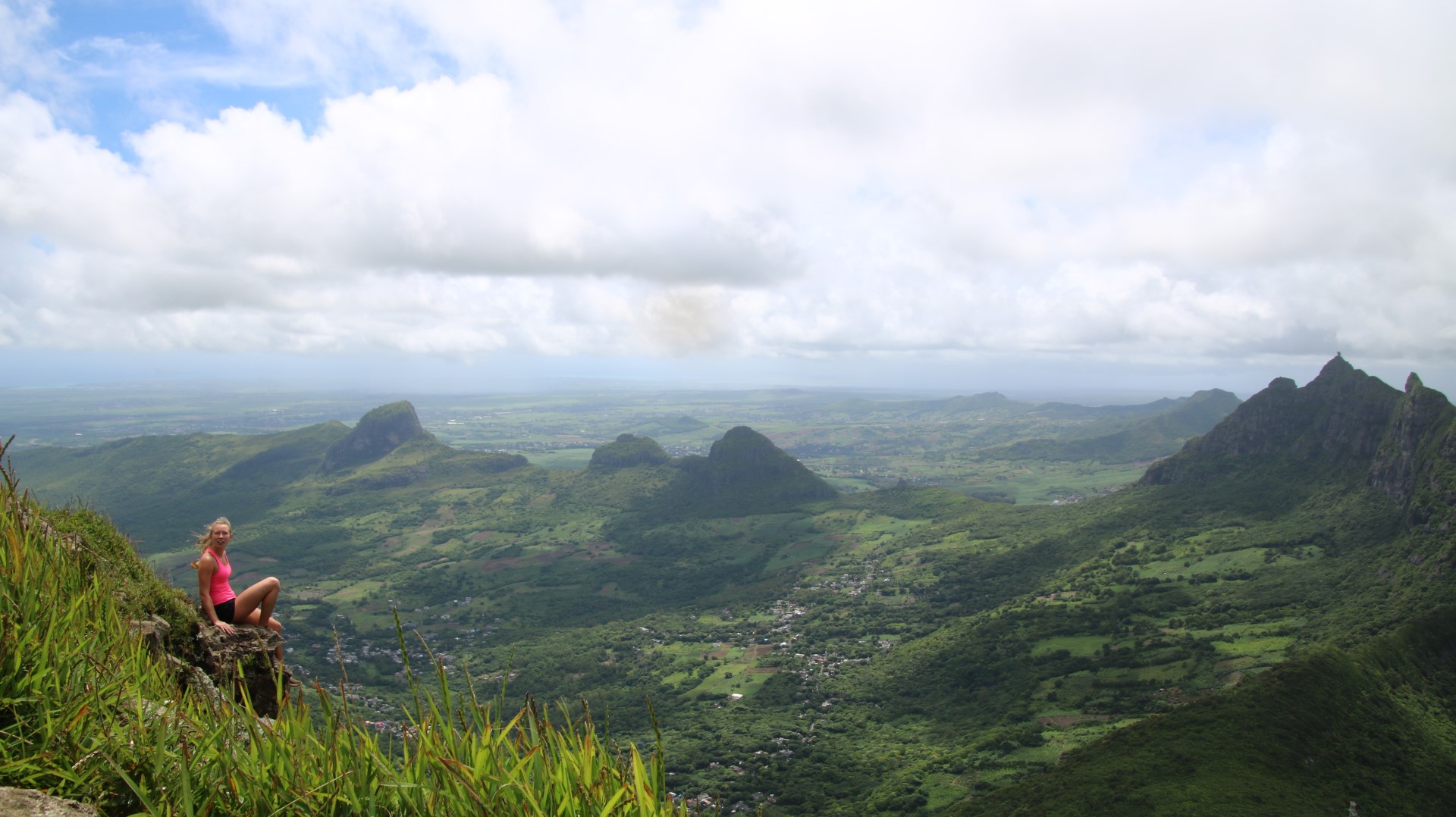
Le Pouce (The Thumb) is the third highest peak in Mauritius at 812 metres. It is named for the thumb-shaped basalt peak that stands out on the island's skyline.
From the top you can see all the way round: Port Louis, the northern plains and the Moka mountain range.
- SKU
Highlights
- Standing as the third-highest peak in Mauritius at 812 meters, Le Pouce (The Thumb) earns its name from its distinctive thumb-like basalt peak that cuts into the island's skyline. This iconic trek offers one of the most rewarding effort-to-view ratios on the island, serving up a panoramic 360-degree vista of Port Louis, the northern plains, and the surrounding Moka mountain range.
Before you go
Fitness and health
A moderately challenging hike. The last stretch is steeper and rocky, with some scrambling near the top.
Where to meet
Le Pouce Hiking
Trips start at 08:45.
Where
Le Pouce HikingLe Pouce Hiking
Use the arrow keys to pan the map and +/− to zoom.
Reviews
No reviews yet — be the first.
Sign in to leave a review.